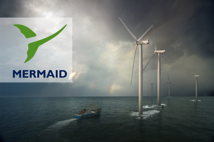
Vattenfall adopts James Fisher’s pioneering marine project optimisation system, Mermaid®.
- James Fisher Marine Services secures order from one of Europe’s leading energy companies, Vattenfall, for Mermaid®
- Vattenfall will utilise Mermaid® for the strategic planning of its offshore wind farm operations
- Mermaid® is a sophisticated marine project optimisation and weather risk mitigation system set to enable huge operational cost-savings
James Fisher Marine Services, part of James Fisher and Sons plc, is proud to announce that Vattenfall, one of Europe’s leading -wind park operators, has ordered a full Mermaid® system license for the strategic planning of its offshore wind farm operations. Read more >